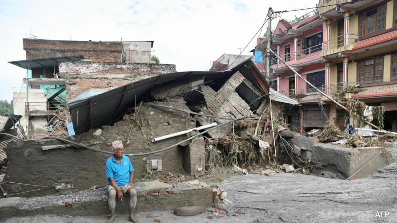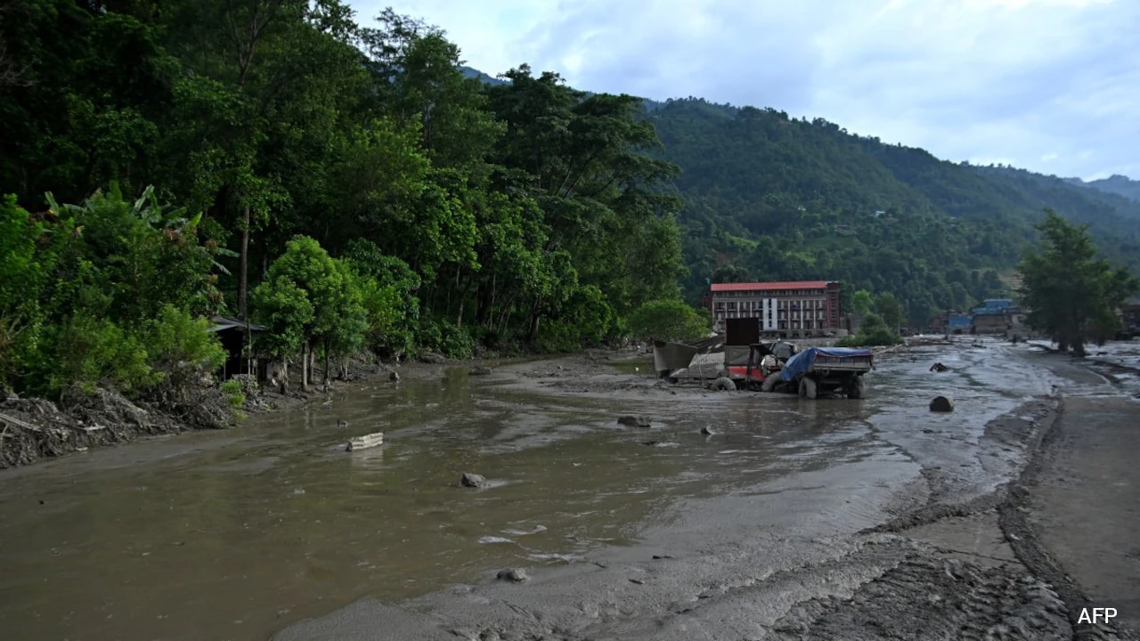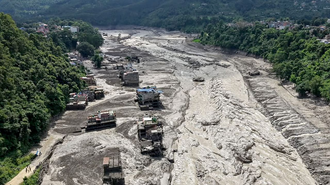
Every monsoon season, the script writes itself. Waters rise in the valleys of Nepal, communities scramble for higher ground, and the international commentariat immediately searches for a villain upstream. This year, the target was once again Beijing, with breathless headlines asking whether a mysterious geological disaster dam in Chinese territory triggered the catastrophe downstream.
It is a neat, emotionally satisfying narrative. It turns complex hydrological science into a geopolitical morality play. It is also entirely wrong, dangerously simplistic, and lets actual systemic failures off the hook.
I have spent over a decade watching cross-border water politics devolve into tribal finger-pointing. I have seen diplomats spend months arguing over satellite telemetry while regional municipal planners ignore basic zoning laws. The lazy consensus says transboundary water crises are born from intentional malice or catastrophic engineering failures across the border. The reality is far more mundane, far more brutal, and demands an honest look at local vulnerabilities rather than cheap shots at distant superpowers.
The Geography of Convenience
Let us dismantle the core premise of the transboundary panic. When flash floods sweep through the Arun or Koshi river basins, armchair hydrologists point fingers at upstream infrastructure on the Tibetan Plateau. The assumption is that a massive block of concrete or a sudden artificial landslide dam must have breached, sending an unnatural wall of water across international lines.
Geography refuses to cooperate with this lazy narrative. The sheer distance between high-altitude Tibetan withholding structures and the densely populated floodplains of Nepal spans hundreds of miles of violent, highly volatile topography. When a glacial lake outburst flood or extreme monsoonal cloudburst occurs, the volume of water is overwhelmingly driven by local meteorological mechanics—specifically, atmospheric rivers slamming into the southern Himalayan barrier.
To blame a distant geological disaster dam in China is to ignore basic fluid dynamics and the sheer scale of Himalayan hydrology. The localized rainfall rates during peak monsoon events frequently exceed hundreds of millimeters within a matter of hours. No upstream reservoir operation, whether mismanaged or pristine, can manufacture or absorb local precipitation of that magnitude. Local watersheds do not need foreign intervention to flood; they possess all the ingredients necessary for disaster right at home.
The Complicity of Local Planning
Let us talk about what nobody in the mainstream discourse wants to admit. Pointing the finger upward at Beijing provides a convenient smokescreen for domestic policy failures.
For decades, unplanned urbanization has choked the natural drainage pathways of the region. Floodplains that should be acting as natural sponges are now paved over with concrete, commercial hubs, and poorly engineered roadways. When an extreme weather event hits, the water has nowhere to go. It backs up, it pools, and it destroys homes.
Imagine a scenario where every transboundary diplomatic complaint about upstream dams was suddenly resolved, and water flows were miraculously regulated to absolute perfection. The local floods would still happen. They would still sweep away poorly anchored bridges. They would still inundate settlements built illegally on riverbanks.
By obsessing over geopolitical conspiracy theories, regional actors dodge the hard work of infrastructure reform, zoning enforcement, and early-warning sensor maintenance. It is much easier to rage against a neighboring government than it is to evict illegal constructions from a high-risk flood channel.
The Science of Silt and Sediment
Another favorite talking point of the anti-dam crusaders is sediment starvation and artificial surges. Critics claim that routine maintenance or flushing of upstream reservoirs sends sudden waves of mud and water that devastate downstream ecosystems.
Here is where expertise matters. Hydrological engineering data consistently shows that the natural sediment load of Himalayan rivers during the monsoon dwarfs anything trapped behind standard weir or reservoir operations. The Himalayas are the youngest, fastest-eroding mountains on earth. They shed millions of tons of debris naturally every single year.
When a landslide blocks a gorge in Tibet—a frequent natural occurrence in a seismically active zone—it forms a temporary barrier. When that natural dam eventually fails under hydrostatic pressure, the resulting surge is entirely natural, born from tectonic instability and gravitational collapse, not a button pushed in a Beijing control room. Pretending this is an industrial accident orchestrated by a foreign power strips the earth of its own agency. It ignores the restless, violent geology of the roof of the world.
The Real Threat to Regional Stability
The danger of chasing phantom upstream villains is that it blinds us to the actual crisis unfolding on the ground. Real transboundary water cooperation requires accurate, real-time data sharing, joint meteorological monitoring, and honest communication channels. When local politicians use every natural disaster to score cheap geopolitical points, trust evaporates.
If you want to protect mountain communities from the next deluge, stop waiting for a diplomatic apology from Beijing. Invest in community-level radar sensors, relocate settlements out of active alluvial fans, and overhaul outdated municipal zoning codes. Nature does not care about national borders, and it certainly does not care about your favorite political narrative. Stop looking upstream for excuses, because the water is already at your door.