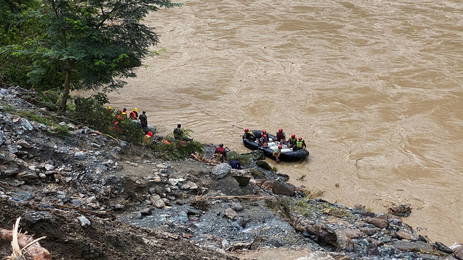
The catastrophic flash floods sweeping through northern and central Nepal expose systemic vulnerabilities in cross-border hydrological monitoring and high-altitude emergency response. Triggered by an ice-rock avalanche near the Tibet-Nepal border on August 26, the Bhotekoshi River system experienced an extreme hydraulic surge that overwhelmed downstream communities. Official tracking from Nepal's National Disaster Risk Reduction and Management Authority puts the confirmed death toll at 1,259, while 5,083 individuals remain officially unaccounted for. The sheer velocity of the displacement altered physical topography, erasing landmarks and rendering traditional navigation models obsolete for search and rescue operations.
The logistical architecture of rescue deployment faces severe capacity constraints. Heavy siltation, compromised riverbanks, and persistent upstream rainfall in the Bhotekoshi and Trishuli catchments create dangerous conditions for multi-agency intervention. Ground teams, augmented by specialized international units such as Indian tunnel extraction squads working at the Chilime Power House, confront physical barriers that reduce extraction efficiency. Helicopter pilots navigating Rasuwa and Nuwakot districts must operate without visual cues from former river boundaries, relying entirely on heuristic piloting under high-risk atmospheric conditions.
This operational paralysis translates directly into the civic sphere. As the search window for survivors closes past the critical threshold, affected households in villages like Paharebesi are executing symbolic funeral rites utilizing effigies constructed from kusha grass. These rituals serve a dual psychological and structural function, addressing the vacuum left by unrecovered remains and the practical impossibility of forensic identification across dispersed deposition zones. The geographic distribution of recovered fatalities—ranging from 355 in Chitawan to 177 in Nuwakot and bodies crossing international borders into India—demonstrates the vast hydrodynamic reach of the disaster, complicating centralized mortuary management and forensic accounting.
The structural drivers of this crisis are rooted in high-altitude cryospheric destabilization. Data from climate monitoring centers indicate that the Tibetan Plateau has experienced a 24 percent reduction in glacier surface area over the past six decades, resulting in the complete disappearance of approximately 7,000 minor glaciers. This mass loss diminishes structural integrity across glacial moraines, turning localized ice-rock avalanches into high-volume hydraulic catalysts. When these mass-wasting events breach high-altitude lakes or constrict narrow gorges, they generate an instantaneous wave front that travels down steep gradients faster than early-warning telemetry can transmit downstream alerts.
Mitigating future catastrophic risk requires a structural overhaul of regional hydrological infrastructure and data-sharing protocols between upstream and downstream nations. Early-warning systems must transition from reactive water-level gauges to predictive seismic and thermal sensors capable of detecting glacial detachment prior to catastrophic mass failure. Concurrently, disaster management authorities must integrate high-resolution topographical modeling that accounts for rapid terrain metamorphosis, ensuring that rescue assets can re-orient dynamically when natural landmarks are obliterated.