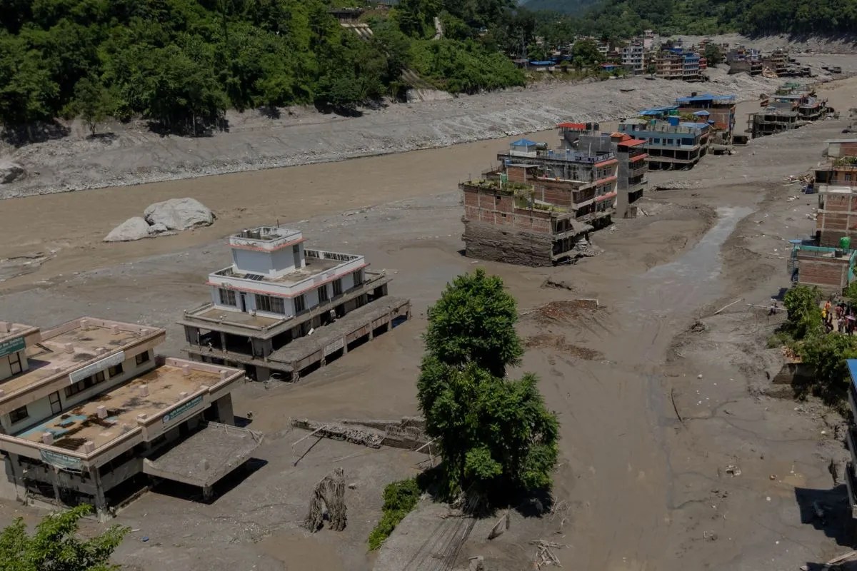
Disaster response systems degrade when operational friction exceeds communication capacity, turning vertical relief chains into horizontal bottlenecks. When catastrophic flash floods isolate mountain communities, the primary failure mode is rarely a lack of physical resources; rather, it is the failure of the distribution network to match environmental decay rates. Analyzing aerial rescue operations during major hydrological crises reveals how logistics networks operate under severe asymmetric information constraints.
Aerial extraction and supply drops represent the absolute frontier of emergency supply chain execution. When ground infrastructure collapses, helicopters function as the sole nodes of connectivity. However, treating aviation as a simple transport mechanism misses the underlying structural mechanics of disaster relief. Discover more on a similar topic: this related article.
The Operational Friction Matrix
The effectiveness of vertical supply chains depends on three distinct variables: meteorological stability, fuel logistics, and landing-zone topography. Each variable introduces friction that compounds exponentially over time.
- Meteorological Volatility: Mountainous terrain generates microclimates that shift faster than standard forecasting models can ingest. Low cloud cover and sudden wind shear restrict flight windows, transforming continuous relief schedules into discrete, highly volatile execution windows.
- Fuel-Payload Tradeoffs: Aircraft operating at high altitudes face severe density altitude penalties. Every pound of extra fuel reduces payload capacity for potable water, medical supplies, or evacuation seats, forcing operators into continuous optimization loops between range and carrying capacity.
- Landing Zone Degradation: Flash floods strip river valleys of stable ground, leaving behind unstable silt and mudflows. Pilots must frequently execute high-hover drops or winch extractions without established ground control, increasing operational risk per sortie.
Information Asymmetry in Fragmented Zones
Communication infrastructure failure creates an invisible market for rescue priority. When isolated communities lose cellular and satellite links, dispatchers cannot perform accurate triage. Relief distribution shifts from a demand-driven model to a supply-driven model, where resources are allocated based on visibility rather than quantifiable need. Additional analysis by BBC News delves into related perspectives on the subject.
This visibility bias creates systemic inequities in survival rates. Communities clustered near major river arteries or visible landmarks receive disproportionate support, while smaller, high-altitude settlements remain unmapped and unserviced during critical golden-hour windows. The absence of localized telemetry forces incident commanders to rely on visual reconnaissance from cockpit passes, a method prone to high error rates and delayed identification of secondary hazards such as newly formed glacial lakes or unstable landslide dams.
Cost Functions of Aerial Stabilization
Deploying rotary-wing assets involves steep marginal costs that scale inversely with infrastructure integrity. Financial capital is consumed rapidly by high maintenance hours per flight hour, specialized pilot requirements, and the constant positioning of aviation fuel caches in remote regions.
When organizations evaluate the cost-effectiveness of emergency air bridges, they frequently ignore the replacement cost of ground logistics infrastructure. Aerial relief functions as a high-cost, low-latency band-aid. It prevents immediate mortality spikes but cannot sustain a displaced population over extended recovery cycles. Permanent stabilization requires early transition from air-dropped rations to heavy engineering equipment capable of clearing arterial road networks.
Systemic Adaptations for Future Crises
To eliminate distribution failures in high-risk zones, disaster management organizations must restructure their deployment architecture before events occur. Decentralizing prepositioned supply caches reduces the transit distance per sortie, directly mitigating the fuel-payload penalty. Integrating low-bandwidth, ruggedized satellite transceivers into remote villages allows continuous data flow, replacing visual guesswork with precise triage metrics.
Relief operations must shift from reactive scrambling to protocol-driven resource routing. By treating disaster zones as complex logistical networks with defined constraints, planners can bypass the emotional noise of crisis reporting and focus exclusively on maximizing throughput per flight hour.