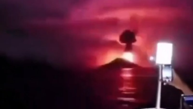
When the sky over the Sunda Strait turns charcoal and glass dust begins to rain down on the coastal fishing settlements of Java and Sumatra, the collective memory of Indonesia snaps instantly back to December 2018. Mount Anak Krakatau, the infamous "Child of Krakatoa," has erupted once more, hurling plumes of ash up to 50,000 feet into the stratosphere and grounding hundreds of commercial flights. International news outlets quickly flashed urgent bulletins about molten lava and ash-choked airspaces, painting a picture of an impending apocalypse. Yet, the real story unfolding across the Indonesian archipelago is not merely about glowing orange fountains of magma or tourist flights stranded at Soekarno-Hatta International Airport. It is a high-stakes operational exercise in managing public trauma, structural fragility, and the terrifying shadow of geohistorical precedent.
To understand why a routine eruption of this magnitude triggers immediate national anxiety, one must look past the superficial headlines and examine the violent architecture of the Sunda Strait. Anak Krakatau sits directly inside the submerged caldera left behind by the cataclysmic 1883 explosion of its parent volcano, Krakatoa—an event that registered a Volcanic Explosivity Index of 6, obliterated two-thirds of the original island, and claimed upwards of 36,000 lives, primarily through generated tsunamis. When Anak Krakatau emerged from the sea in 1927, it began growing at an aggressive pace, stacking layer upon unstable layer of loose tephra and lava flows onto an exceptionally steep underwater slope.
That structural instability turned deadly on December 22, 2018. There was no massive magmatic explosion that day; instead, a massive sector collapse of the volcano's southwestern flank slid silently into the sea, displacing millions of cubic meters of water and generating a devastating tsunami that struck the coastlines without warning. More than 400 people died. That collective scar explains why a Level III Siaga alert status and an active 3-kilometer exclusion zone command absolute obedience from local authorities today, even when current geological indicators point to a different hazard profile.
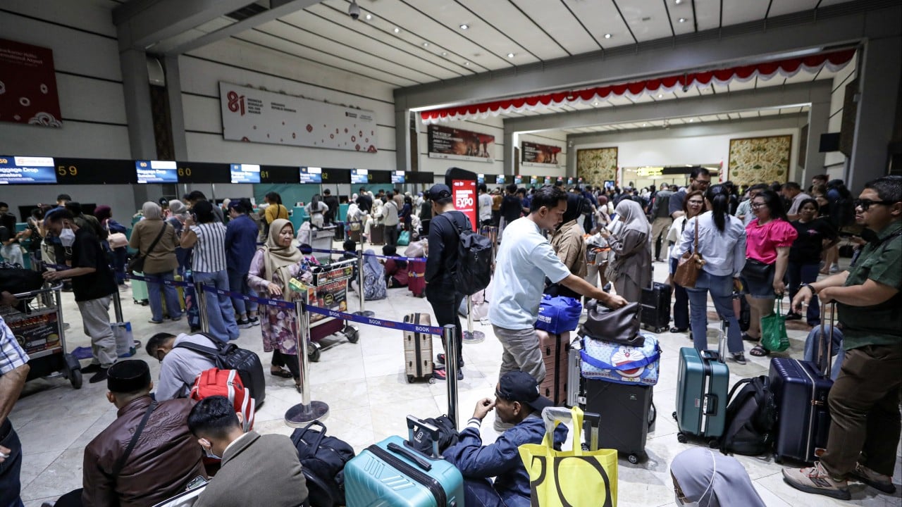
The current eruption cycle has transformed the regional atmosphere rather than reshaping the seafloor. As volcanic ash billowed outward, meteorological tracking instruments recorded towering ash clouds drifting across Banten, Lampung, and parts of Jakarta. Air navigation authorities moved swiftly to issue dozens of Significant Meteorological Information updates, forcing the temporary closure of major transportation hubs including Soekarno-Hatta and Halim Perdanakusuma airports. Stranded passengers camped out on terminal floors while air traffic controllers monitored the hazardous particulate matter capable of stripping turbine blades mid-flight.
Behind closed doors in Jakarta, however, government scientists at the Center for Volcanology and Geological Hazard Mitigation faced a different challenge: calibrating public communication to prevent panic without inducing complacency. The National Disaster Mitigation Agency, known as BNPB, rushed to clarify a critical distinction that fast-moving international reports frequently gloss over. The current volcanic edifice of Anak Krakatau is presently too small and structurally distinct to mirror the catastrophic flank collapse of 2018. High-frequency radar arrays and dozens of coastal tsunami gauges deployed across the Sunda Strait have detected zero anomalous sea-level fluctuations or underwater pressure anomalies.
Yet, treating volcanology as an exact science is a dangerous trap. Subsurface magma plumbing systems are notoriously complex, driven by gas exsolution pressures and crustal interactions that defy absolute prediction. When fresh magma encounters seawater beneath a shallow vent, it can instantly transition from a gentle effusive phase into violent Surtseyan explosions, hurling incandescent ballistic projectiles across the exclusion zone and generating secondary hazards like volcanic lightning and geomagnetic disturbances.
Local populations bear the brunt of these atmospheric variables. Fishermen along the Banten coast have tied up their boats, unwilling to risk navigating through drifting pumice rafts and abrasive ash fallout that corrodes engines and irritates respiratory tracts. Schools have shuttered windows and suspended outdoor activities, while disaster mitigation teams prepare weather modification sorties—including cloud-seeding operations designed to force artificial rainfall and wash lingering particulate matter out of the troposphere.
The friction between scientific nuance and sensationalist reporting remains a persistent vulnerability in disaster management. When global aggregators strip away local context to emphasize "lava spewing" from a historically lethal volcano, they trigger flight cancellations and economic disruption far out of proportion to the actual physical risk measured by seismic sensors on the ground. Conversely, downplaying the raw power of an active stratovolcano built on an unstable submarine scar is equally irresponsible.
Anak Krakatau continues to vent its fury into the atmosphere, a stark reminder of the volatile tectonic forces shaping the Indonesian plate boundary. The ash will eventually settle, the airports will reopen, and the coastal communities will resume their daily routines beneath the watchful gaze of the monitoring stations. But the mountain remains awake, a shifting pile of rock and fire perched precariously on the edge of the sea.