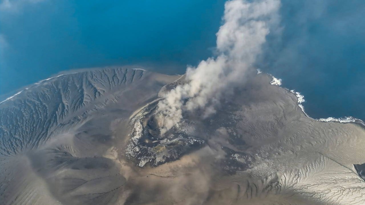
Effective disaster mitigation relies on the synchronization of technical hazard detection, institutional response velocity, and grassroots compliance economics. When geological anomalies occur, the operational bottleneck is rarely the absence of monitoring hardware; rather, it is the friction within the decision-making chain and the economic realities forcing vulnerable populations to remain inside high-risk zones. Evaluating volcanic crisis management requires moving past surface-level observations of natural phenomena to examine the structural mechanics of risk governance.
The Architecture of Hazard Detection and Information Asymmetry
Modern volcanic monitoring relies on dense sensor arrays tracking seismic signatures, ground deformation, gas emissions, and thermal anomalies. Yet, raw data generation does not automatically translate into public safety. The institutional pathway from a sensor registering an anomaly to an evacuation order passing down to a village head creates a multi-layered verification chain.
Each administrative handoff introduces latency. Scientific agencies prioritize false-positive avoidance to prevent economic paralysis caused by unnecessary evacuations. Conversely, local communities prioritize uninterrupted daily productivity. This creates an institutional friction coefficient where technical warnings are often filtered, downscaled, or delayed during the critical window preceding a cataclysmic event.
The communication of risk probability remains fundamentally flawed. Standard alert tiers, such as regional color-coded systems, communicate static status rather than dynamic kinetic threat trajectories. A high alert level maintained over months induces habituation among local populations. Citizens weigh the immediate, guaranteed cost of abandoning livelihoods against the abstract, probabilistic cost of a low-frequency, high-impact eruption. Without localized probabilistic forecasting that translates geological telemetry into actionable time-to-impact metrics, early warning systems function as bureaucratic notifications rather than survival triggers.
The Economic Cost Function of Non-Evacuation
Vulnerability to volcanic hazards is governed by an economic equation. In regions spanning the slopes of active arcs, such as Merapi or Semeru, soil fertility drives intensive agriculture, while scenic landscapes anchor vital tourism micro-economies. For smallholders and tourism operators, evacuating at the first sign of elevated seismic unrest incurs immediate financial ruin: crops are abandoned, livestock is stranded, and perishable capital is lost.
[Seismic Telemetry]
       │
       ▼
[Institutional Verification Latency] ──> False-Positive Aversion Filter
       │
       ▼
[Static Alert Communication] ──────────> Habituation & Risk Fatigue
       │
       ▼
[Economic Cost Function] ──────────────> Forced Livelihood Retention
This dynamic establishes a negative feedback loop. The expected financial loss of compliance outweighs the perceived utility of evacuation, especially given historical precedents where volcanoes exhibited unrest without immediate major explosions. Mitigation strategies that treat compliance as a binary behavioral choice fail. True resilience requires structural economic buffers—such as guaranteed livelihood replacement funds or micro-insurance products tied directly to mandatory evacuation triggers—that decouple physical safety from immediate financial survival.
Secondary Hazard Cascades and Institutional Silos
Primary risk assessments typically focus on direct magmatic outputs: ash plumes, lava fountains, and ballistic projectiles. However, catastrophe data indicates that a significant proportion of fatalities and infrastructure damage stem from secondary hazard cascades, particularly rainfall-triggered lahar flows and flank collapses.
Institutional accountability for these hazards is chronically fragmented. Meteorological agencies monitor rainfall and climate conditions, geological agencies track internal volcanic unrest, and local disaster management boards handle evacuation execution. These entities frequently operate within isolated operational silos.
When torrential monsoon rains interact with fresh pyroclastic deposits, the resulting lahar can travel down river valleys at high velocities with minimal advance notice. If meteorological telemetry regarding rainfall intensity is not integrated in real-time with geological models of mobile deposits, early warning systems will miss the hazard window entirely. The absence of a multi-hazard operating architecture means that secondary triggers are treated as anomalous surprises rather than mathematically predictable downstream consequences of primary events.
Infrastructure Bottlenecks and Evacuation Logistics
Physical geography dictates evacuation performance. Volcanic terrain is characterized by restrictive radial topographies—narrow river valleys, steep ridges, and limited arterial road networks leading away from hazard zones.
During an emergency, these transit corridors experience immediate capacity failure. Infrastructure designs rarely account for simultaneous mass evacuation vectors colliding with commercial traffic and agricultural transport. Bridges crossing river channels prone to lahar flows often serve as both the primary escape route and the most vulnerable structural chokepoint.
Furthermore, decentralized shelter infrastructure frequently lacks baseline operational integrity. Evacuation sites positioned too close to active drainage basins risk being compromised by the very mudflows they are intended to avoid. Logistics planning must transition from static capacity counts—calculating total bed spaces available—to dynamic flow modeling, simulating peak evacuation loads against constrained road network bandwidths under adverse weather conditions.
Deploying Adaptive Risk Governance
Transforming volcanic disaster management requires dismantling traditional command-and-control structures in favor of distributed, asset-backed operational models. The private sector and municipal authorities must jointly underwrite the cost of preparedness, viewing early warning infrastructure and redundant logistics corridors as essential inputs for long-term regional economic stability rather than sunk administrative costs.
Integration must replace isolation across all tiers of hazard monitoring. Meteorological, geological, and hydrological data streams must feed into a unified, automated decision engine capable of issuing precise, localized kinetic warnings that bypass traditional bureaucratic bottlenecks. Concurrently, financial instruments must be deployed to eliminate the penalty of compliance, ensuring that local populations can evacuate without facing economic devastation. Capital allocation should prioritize dynamic transport modeling, multi-hazard sensor fusion, and decentralized community-led response protocols to close the gap between scientific detection and human survival.